MARK FROM THE AIR (1)
Photographs of Mark taken from the air, by kind permission of the Commanding Officer, RNAS Yeovilton (2016?)
 Looking east, Cricket pitch in foreground
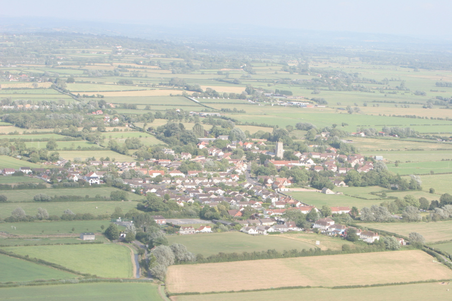
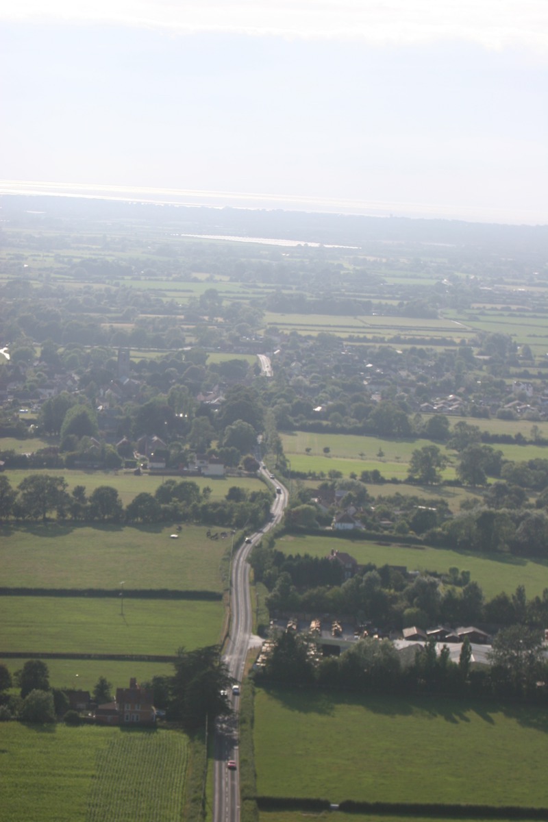
 Looking east
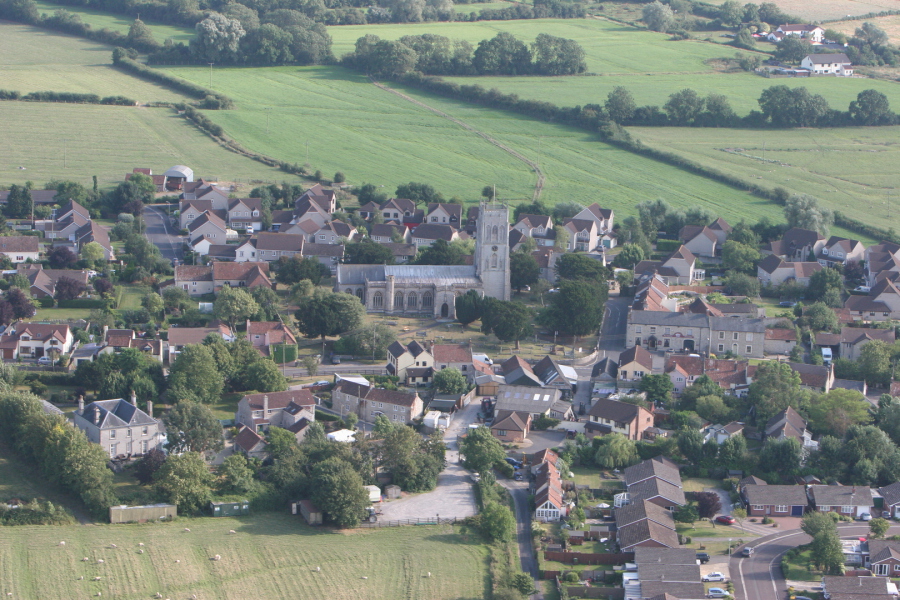
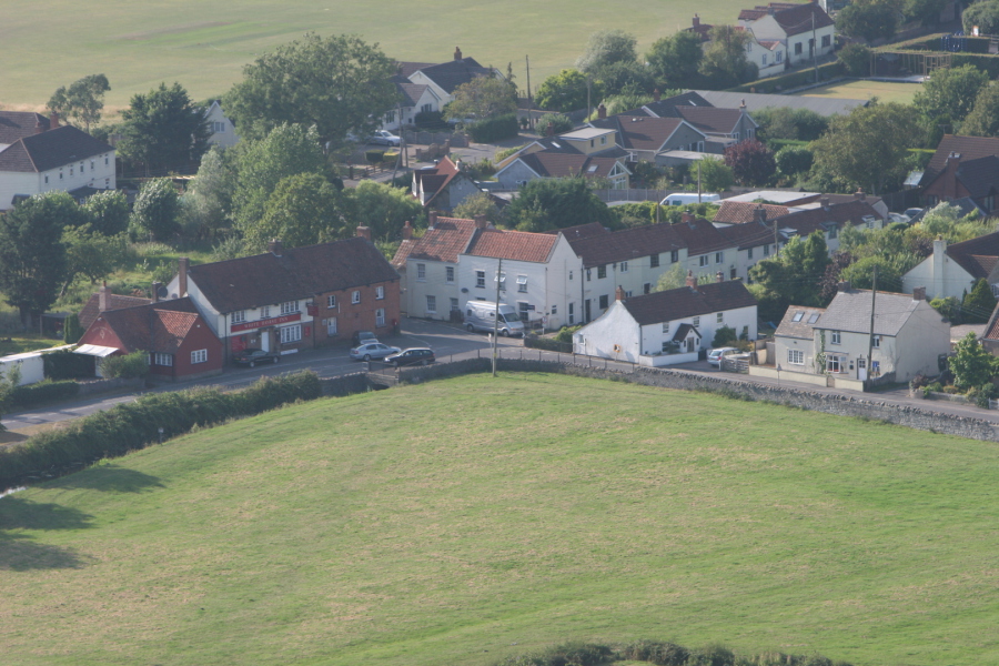
 Looking south, Queensway to the left, Kingsway in the middle, and Merryfields to the right, with the church in the background
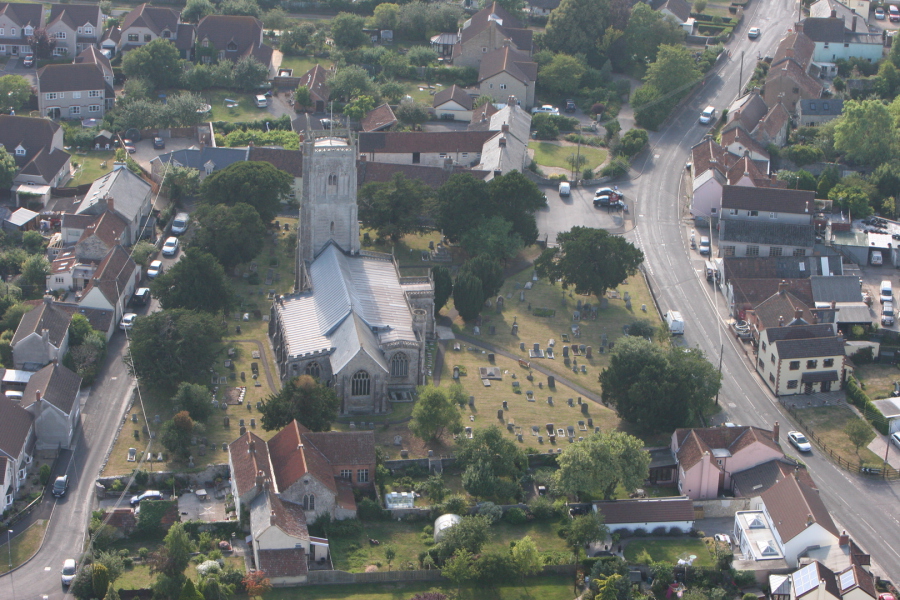
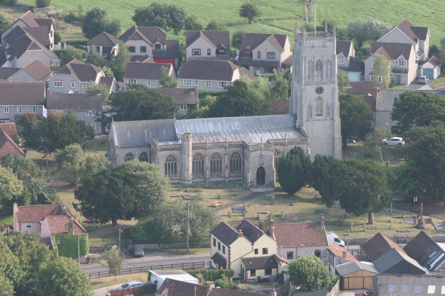 Church of the Holy Cross, with Grange Paddock in the background
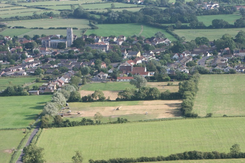
 Looking south over Mark Moor. The Church of the Holy Cross, the Pack Horse pub, Little Moor Road and Queensway to the right
 Little Moor Road, The Church of the Holy Cross and Church Street
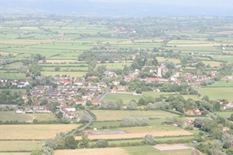
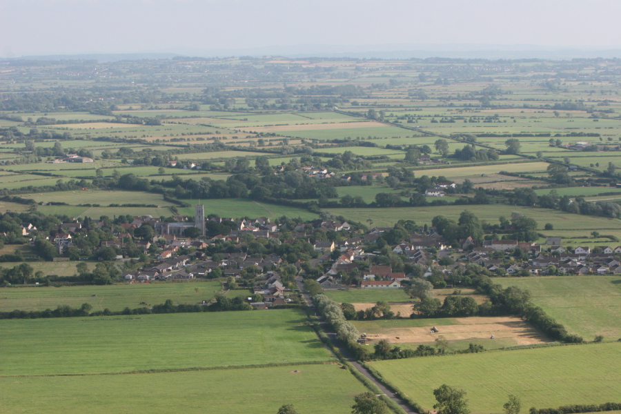 Looking south over Mark Moor
 Jubilee Green corner of the Causeway, with the White Horse pub in the background
 White Horse pub on the corner of Vole Road
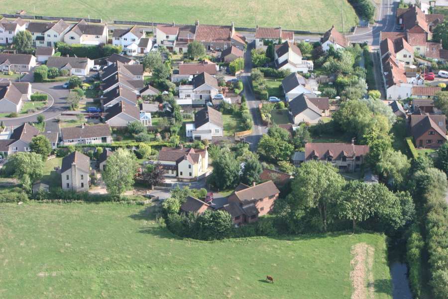 Merryfields and Fishers Lane
 Rear of Kingsway
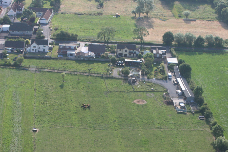
 Properties in the City
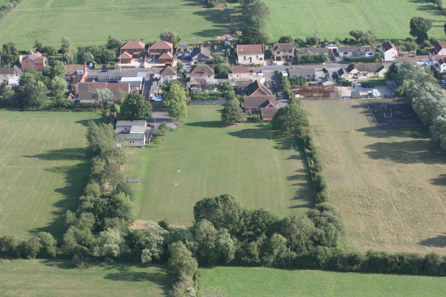
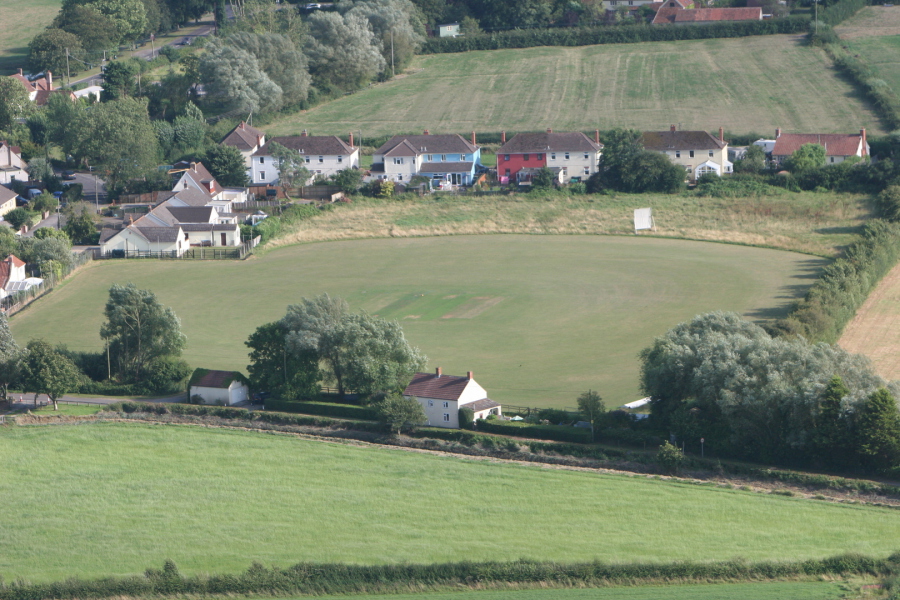 Mark Cricket Club pitch with Northwick Road in the background
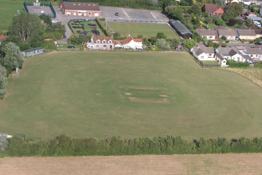 Mark Cricket Club pitch with Mark Village Hall in the background
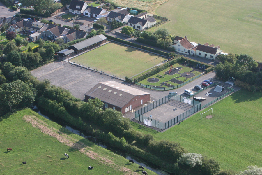 Mark Village Hall showing the Bowls Club, Children's Play Area and MUGA (Multi-use Games Area)
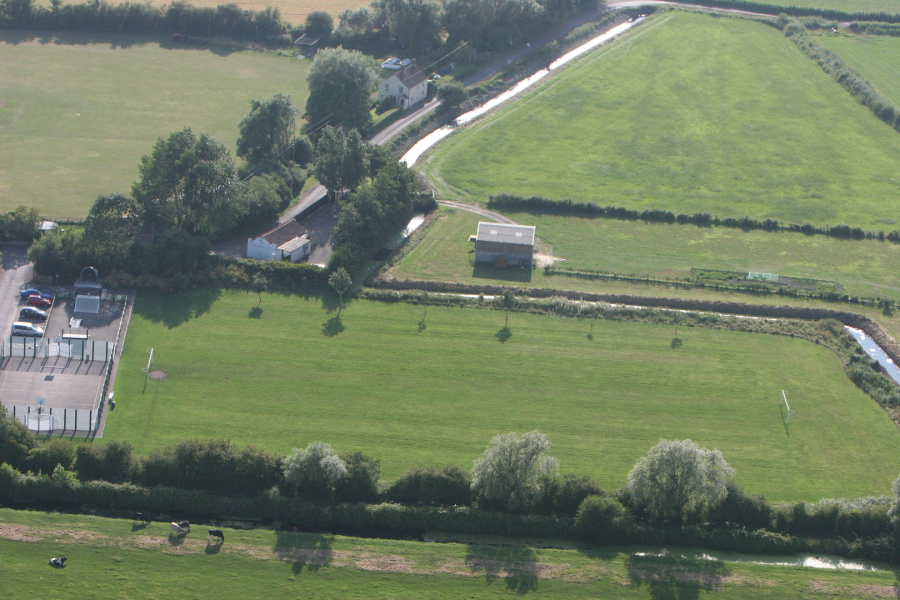 Football field at Mark Village Hall
 Rear of Mark First School and houses along Mark Causeway
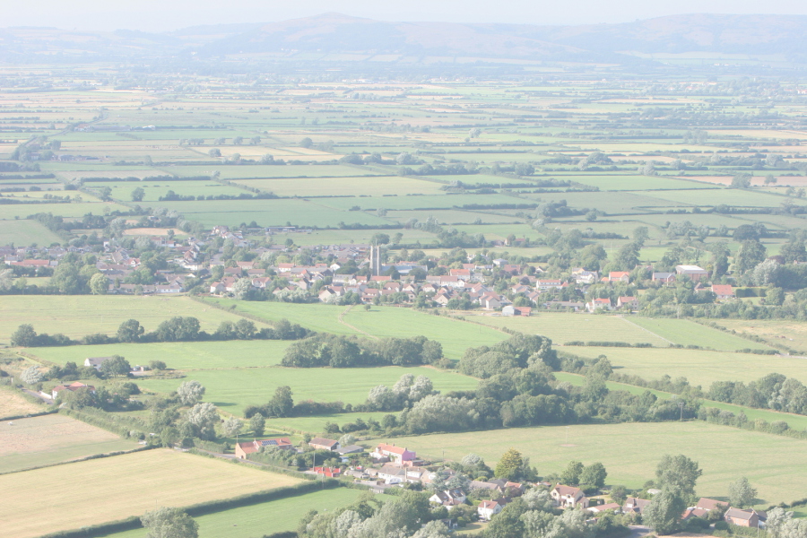 Looking north to the Mendip Hills. Yarrow in the foreground
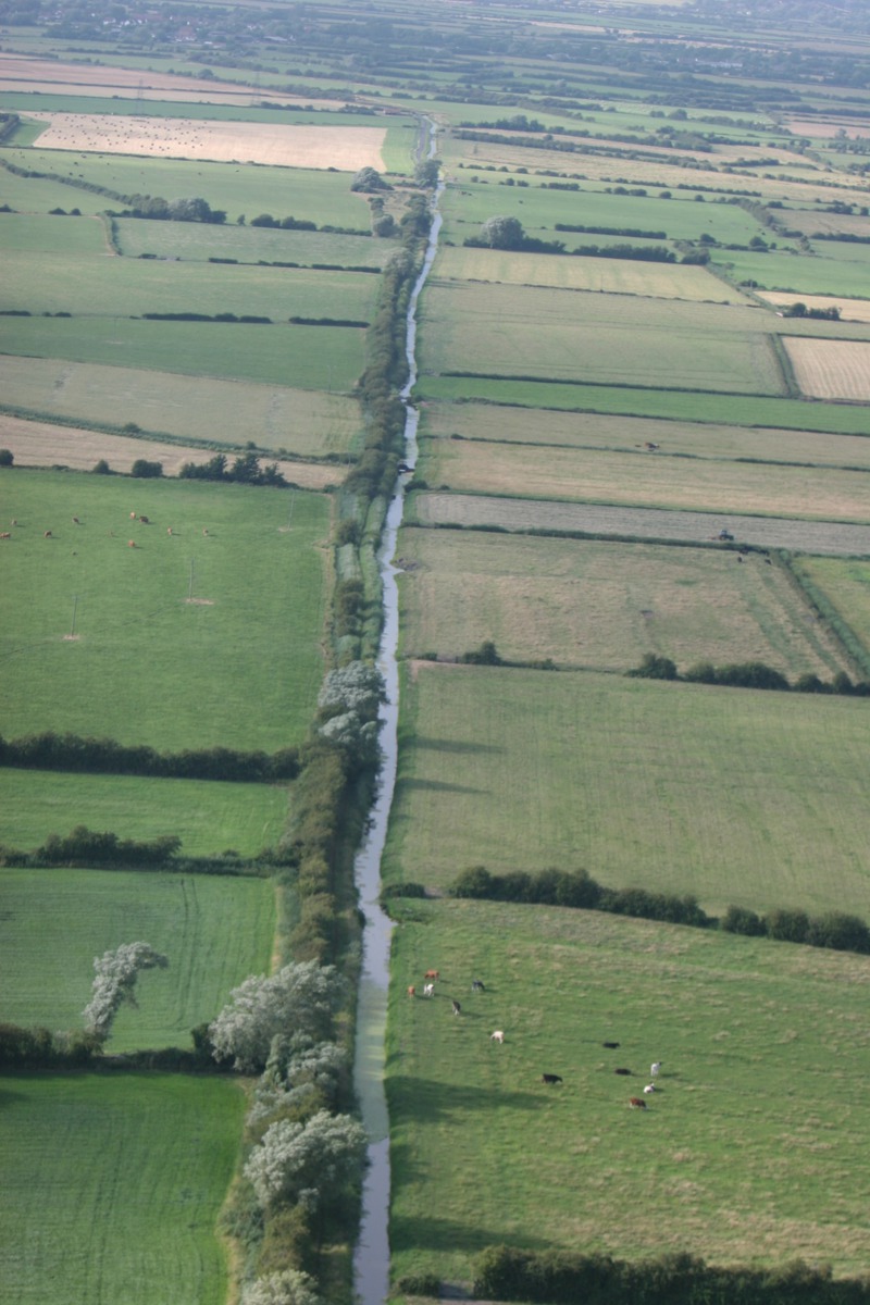 Mark Yeo, towards Rooksbridge
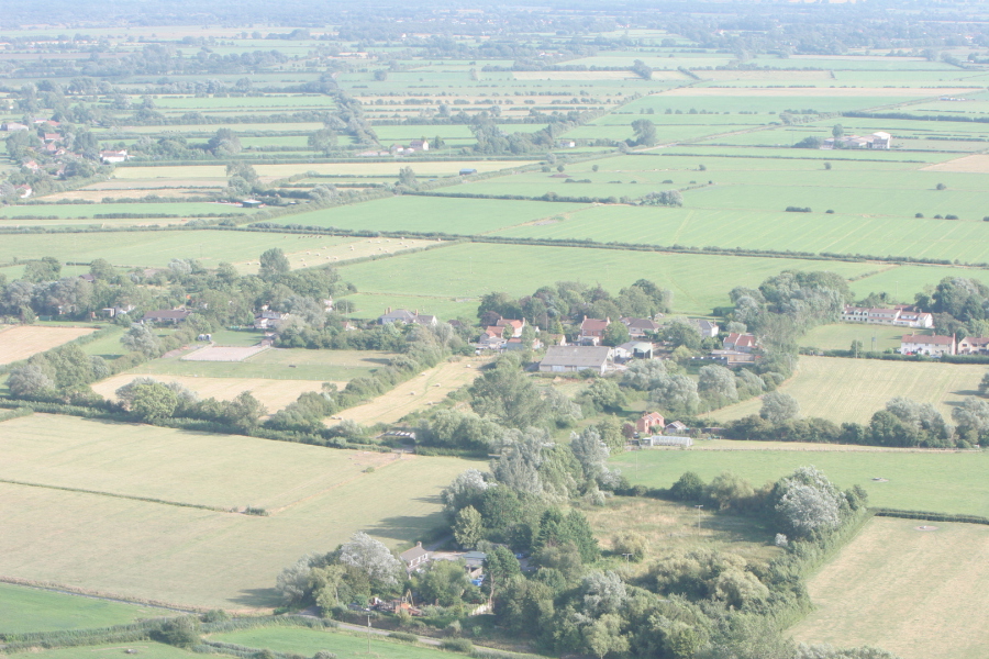
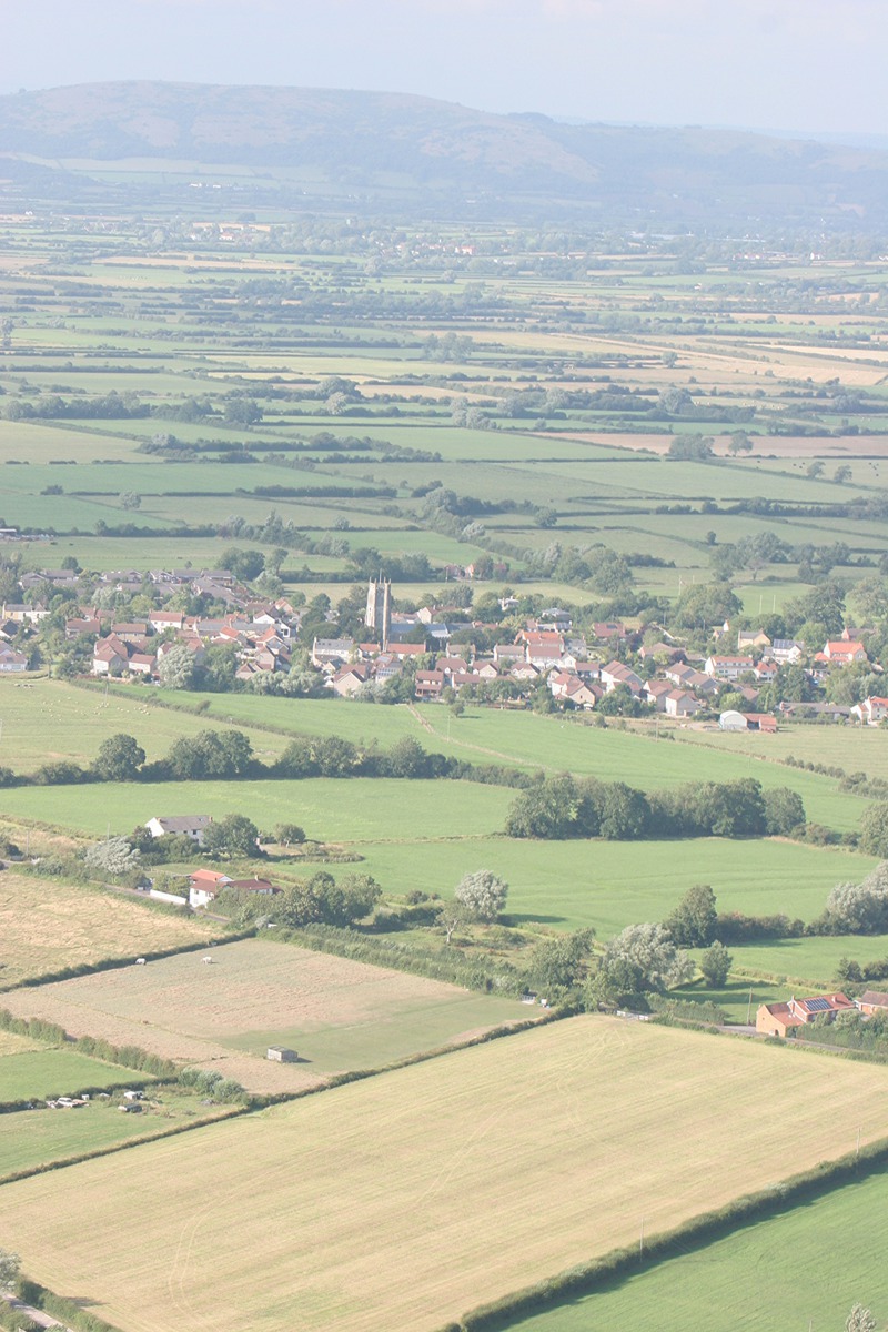 Looking north to the Mendip Hills
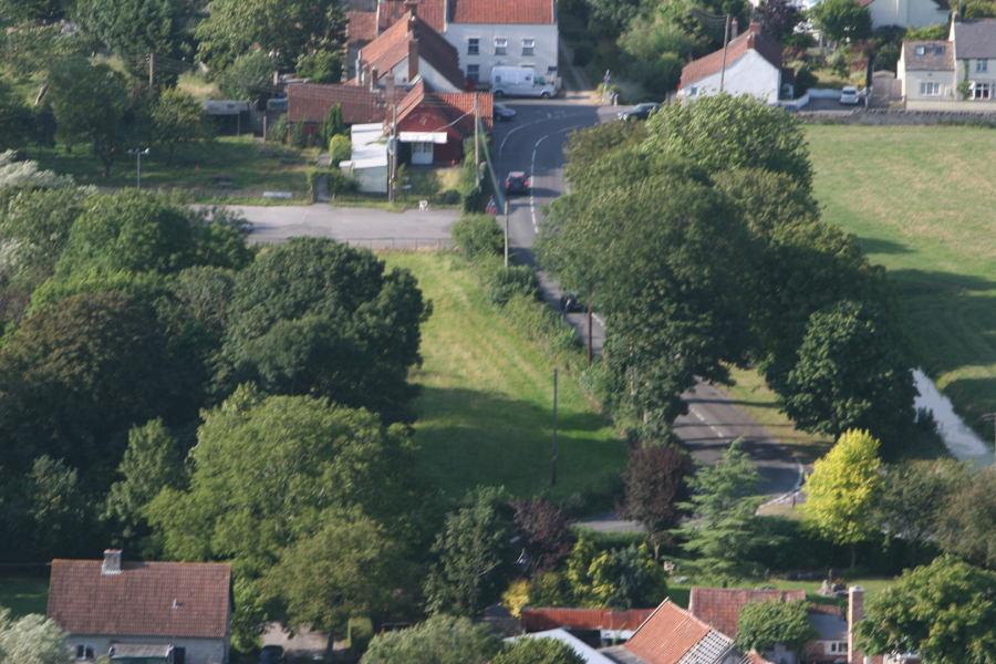
 Blackford Road, looking west